3MARS: European multimodal transport planning
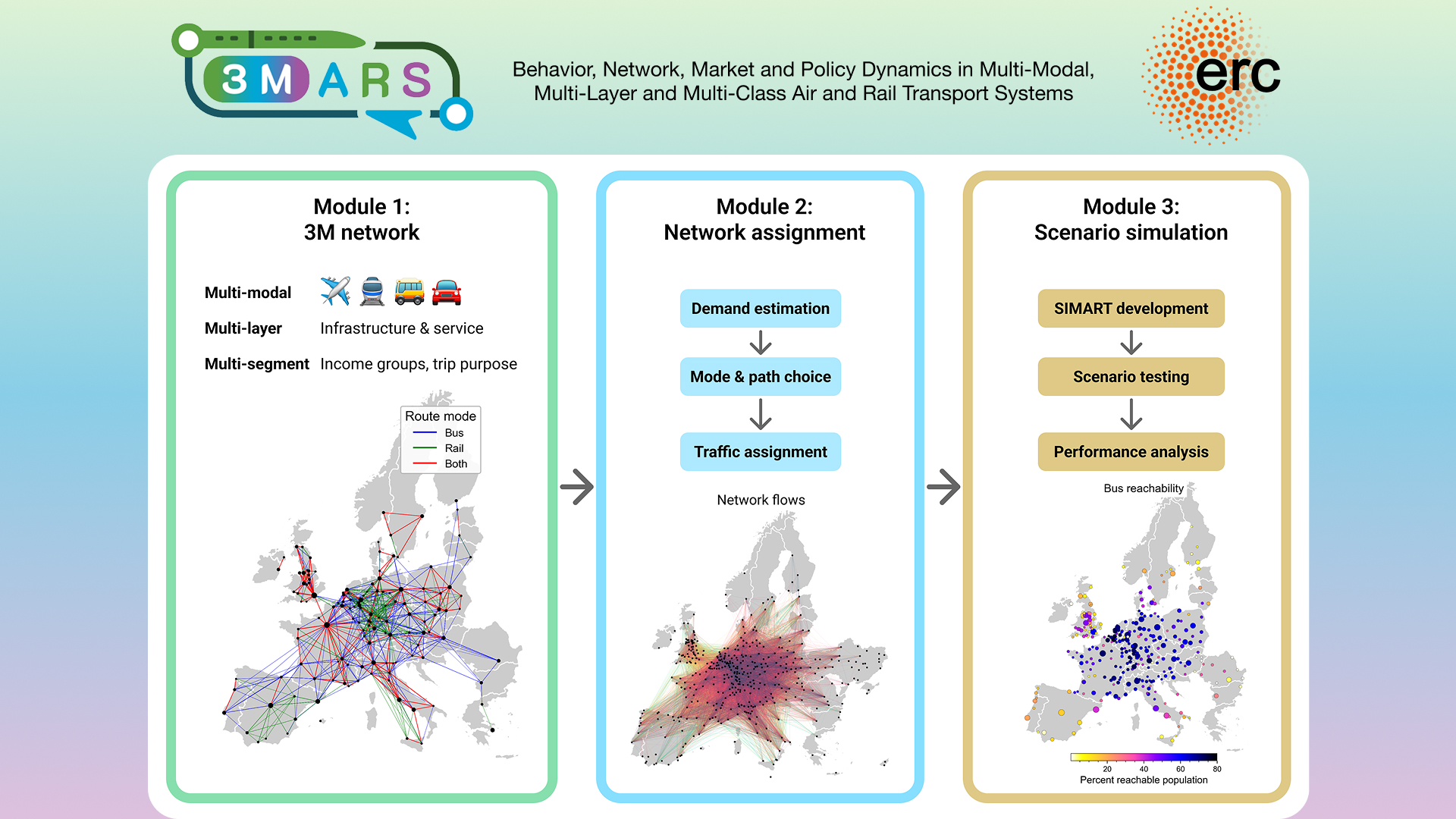
How can Europe’s long-distance transport networks offer better connected and more sustainable journeys? The 3MARS project studies the interactions between travel behaviour, transport networks, markets and policy across air and rail systems.
My contribution focuses on building and analysing a European multimodal transport network. I integrate OpenStreetMap and timetable sources, including GTFS and NeTEx, into reproducible Python workflows to compare intercity bus and rail connectivity and schedule-based accessibility.
Python · GIS · GTFS/NeTEx · Network analysis